
About Tucson Surveying & Mapping LLC
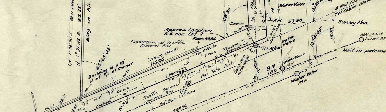
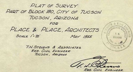
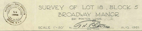
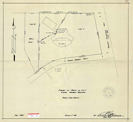
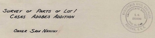
Tucson Surveying & Mapping has been providing our clients with quality surveys in Southern Arizona since 1915. We specialize in boundary surveys, ALTA surveys, lot splits, aerial mapping, as-built surveys, custom home layouts, elevation certificates and topographic surveys. When you choose Tucson Surveying & Mapping, all phases of the survey process, from the research to the field work to the Results of Survey drawing, will be performed by a registered land surveyor.
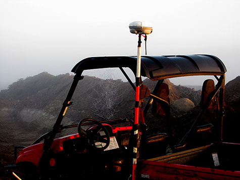
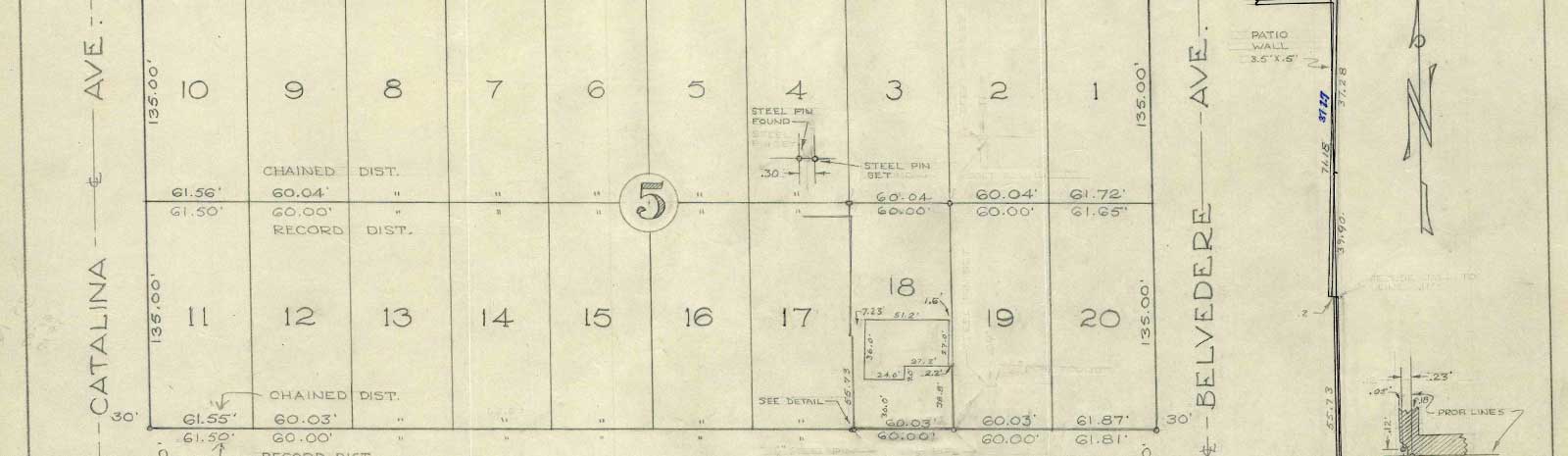
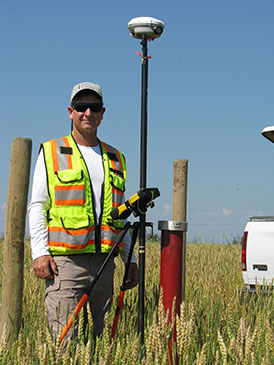
Tucson Surveying & Mapping utilizes modern land surveying equipment to perform the field portion of the survey process. Our technology includes Differential Real-Time Kinematic GPS, Robotic Total Stations and Unmanned Aerial Systems or UAS. We utilize Carlson Survey and Design software to prepare all of our Results of Survey drawings, which is essentially a final report of the survey in a map format.
Insurance coverage is not a requirement and amazingly, many survey firms don’t carry it! For your piece of mind, Tucson Surveying & Mapping LLC carries both General Liability Insurance and Professional Liability Insurance, also referred to as Errors & Omissions Insurance.